Mt. Everest (8848 meters) as seen from Kala Patthar (5545 meters).
I just returned from a superb two weeks of trekking in the Everest region. We stayed in cozy teahouses at night and wandered on trails during the day. The map below roughly shows our route.
Our trip started with a harrowing airplane flight to Lukla. Lukla airport (Tenzing-Hilary Airport) was built out of potato fields by Sir Edmund Hillary. The runway has a 12% grade, starts at a steep cliff, ends at a stone wall, and is aptly classified as a Short Take Off and Landing (STOL) airport. The plane at the bottom left corner of the following photograph was out of commission because it bumped into the runway wall during landing.
Although we were in the Solukhumbu region during the low tourist season there were still plenty of trekkers, porters, and yaks carrying loads up and down the mountain. Porters legally cannot carry more than 30 kilograms but it was common to see porters with loads well exceeding 100 kilograms (more than 220 pounds).


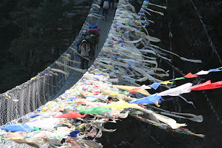
All along the trail we were greeted by stones carved with Buddhist scripts, temples, and prayer flags and ceremonial scarves draped just about everywhere.
Fuel sources are extremely limited in this area and over recent decades forests have been unsustainably harvested in order to heat homes, boil water, and cook food. The wood shortage is especially acute at high altitudes. The government is encouraging, and in some places legislating, the use of imported gas. There are other solar powered products that are making a difference.

Our view from Namche Bazaar (3440 meters) on our second day.

Yak! Seen above Macherma (4465). There are actually many kinds of beasts of burden up here. A 'nak' is a female yak. So, in fact, 'yak cheese' is a misnomer.

Gokyo (4750 meters).

Porters and guides warming up by a yak dung fire. Yak dung is the most poopular heating source for the large iron stoves in the guesthouses. Yak dung, which is quite expensive, is collected from all over the mountains.

The view from Gokyo Ri (5357 meters).


Going up and over Cho la pass (5420 meters). We had some trouble finding the trail.


From Everest Base Camp (5360 meters). Everest is not visible from Base Camp. The mountain seen here is Nuptse (7861 meters).

'Hi, Mom!' from Everest Base Camp.

The recently installed Ncell mobile phone tower in Gorak Shep (5164 meters) that made calls possible.

The small village of Dingboche (4530 meters) with Mt. Ama Dablam (6812 meters) visible in the background.

Musk deer grazing on the hillsides near Namche Bazaar.

We had really clear weather except for the last day. Although we were at altitude during the winter, as a result of the monsoon patterns coming from India there is more precipitation during the summer months. So, there is actually less snow around and on Everest during the winter.

The view from the Dornier 228 aircraft after a safe take off from Lukla airport.

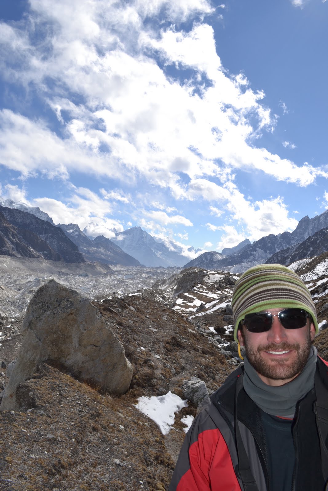
Simon just north of Gokyo.
Alban and Simon standing on Kalla Patthar with Everest in the background.